Images


Your School Through the Ages Maps Outdoor Signboard
Details
https://www.tts-international.com/your-school-through-the-ages-maps-outdoor-signboard/1053133.htmlProduct Code: 708-GH47394
Product Actions
Why you'll love this product
-
Local Area Insight
Children can learn about their local area as it has changed through time. This helps them understand the development of roadways, railways, rivers, and landforms.
-
Map Reading Skills
Great resource to teach map reading skills. Children can compare different types of maps and atlases and develop their geographical understanding.
-
Cross Curricular Learning
Cross curricular resource to teach Geography and History. Supports various educational topics and enhances children's overall learning.
-
Customised for Schools
Your school name will be printed on the board along with the date of each map. This personalisation makes it easier for children to identify their local area.
-
Geographical Skills
Supports Key Stage 2 Geography by using fieldwork to observe, measure, record, and present human and physical features in the local area for children.
Your School Through the Ages Map - Outdoor Board
Gain insights into local development changes through comparing historical maps with current ones.
Overview
Durable, fade-resistant inks, drilled with fittings. Ideal for teaching local geography and history.
This product shows how local areas have evolved with up-to-date aerial photography, a historical map from the turn of the century, and a current Ordnance Survey map. All maps focus on the same area at approximately 1:4500 scale, covering two km from west to east and 1.45 km from north to south, allowing for clear comparisons.
Supporting Key Stage 2 Geography, it helps children observe, measure, record, and present human and physical features. It also aids in using maps, atlases, globes, and digital/computer mapping to locate countries and describe features. Including eight compass points, four- and six-figure grid references, symbols, and keys, it builds knowledge of the UK and the wider world.
Made from 3mm thick Foamex board, this bespoke product includes your school's name and the maps' dates, helping children identify their local area and understand its changes over the years. Please note, it’s not refundable or returnable if you change your mind.
Supports the National Curriculum

Geography, Key Stage 2, Geographical Skills & Fieldwork
Use fieldwork to observe, measure record and present the human and physical features in the local area using a range of methods, including sketch maps, plans and graphs, and digital technologies.
Geography, Key Stage 2, Geographical Skills & Fieldwork
Use maps, atlases, globes and digital/computer mapping to locate countries and describe features studied.
Geography, Key Stage 2, Geographical Skills & Fieldwork
Use the 8 points of a compass, 4- and 6-figure grid references, symbols and key (including the use of Ordnance Survey maps) to build their knowledge of the United Kingdom and the wider world.
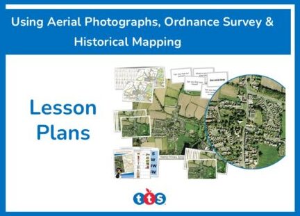
Download free teaching materials
Product Information
Sizes and Measurements
-
600 mm
-
1600 mm
-
H600 x W1600mm
Height
Width
Dimensions
Direct Delivery