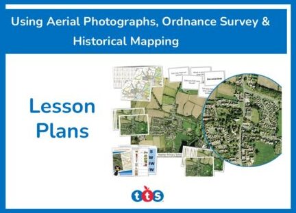
Images


Your School Bee-Bot® UK Map OS
Details
https://www.tts-international.com/your-school-bee-bot-uk-map-os/1053134.htmlProduct Code: 708-GH47395
Product Actions
Why you'll love this product
-
Map Reading Skills
Teaches early map reading skills with control and directional language as children direct Bee-Bot® around the map, enhancing geography understanding.
-
Engaging Learning
Using Bee-Bot® makes learning fun and encourages active participation and engagement in geographical activities.
-
Cross-Curricular Use
Can be used cross-curricular for teaching history and geography. Enhances children's knowledge of their local area through interactive exploration.
-
Durable Design
Constructed from durable vinyl, the map features corner eyelets making it suitable for use on the floor, desk, or as a wall display. This ensures lasting use and versatility in classroom settings.
-
Geographical Skills
Supports Key Stage 2 Geography, enabling children to use maps, atlases, globes, and digital/computer mapping to locate countries and describe features.
Your School Aerial Bee Bot Mat
Combine early map reading skills with control and directional language by using Bee-Bot®.
Overview
Highly detailed Ordnance Survey map covering two square kilometres of your school's local area. Ideal for planning and researching.
Teachers can enhance learning by combining map reading skills with directional language using the Bee-Bot® on this detailed Ordnance Survey map. The map covers two square kilometres at a 1:10,000 scale, perfect for planning school journeys and researching local history. Made from hard-wearing vinyl with corner eyelets, it can be used on the floor, desk, or wall display. (Bee-Bot® robot not included).
This resource supports the Key Stage 2 Geography curriculum, focusing on geographical skills and fieldwork. It enables children to use various mapping tools, including atlases, to locate countries and describe features.
Note this bespoke product is non-refundable and non-returnable.
Supports the National Curriculum

Geography, Key Stage 2, Geographical Skills & Fieldwork
Use fieldwork to observe, measure record and present the human and physical features in the local area using a range of methods, including sketch maps, plans and graphs, and digital technologies.
Geography, Key Stage 2, Geographical Skills & Fieldwork
Use maps, atlases, globes and digital/computer mapping to locate countries and describe features studied.
Geography, Key Stage 2, Geographical Skills & Fieldwork
Use the 8 points of a compass, 4- and 6-figure grid references, symbols and key (including the use of Ordnance Survey maps) to build their knowledge of the United Kingdom and the wider world.
Download free teaching materials
Product Information
Direct Delivery